
The Old Chalk Way: Complete Route Guide & GPX

From English Channel to North Sea
Following a chalk spine from Lyme Regis in Dorset to Holme-next-the-Sea in Norfolk, The Old Chalk Way is a coast-to-coast gravel bikepacking route to embody the history of Britain’s most ancient highway, taking in its most iconic sites, best scenery and we think some of the best riding in Southern England.
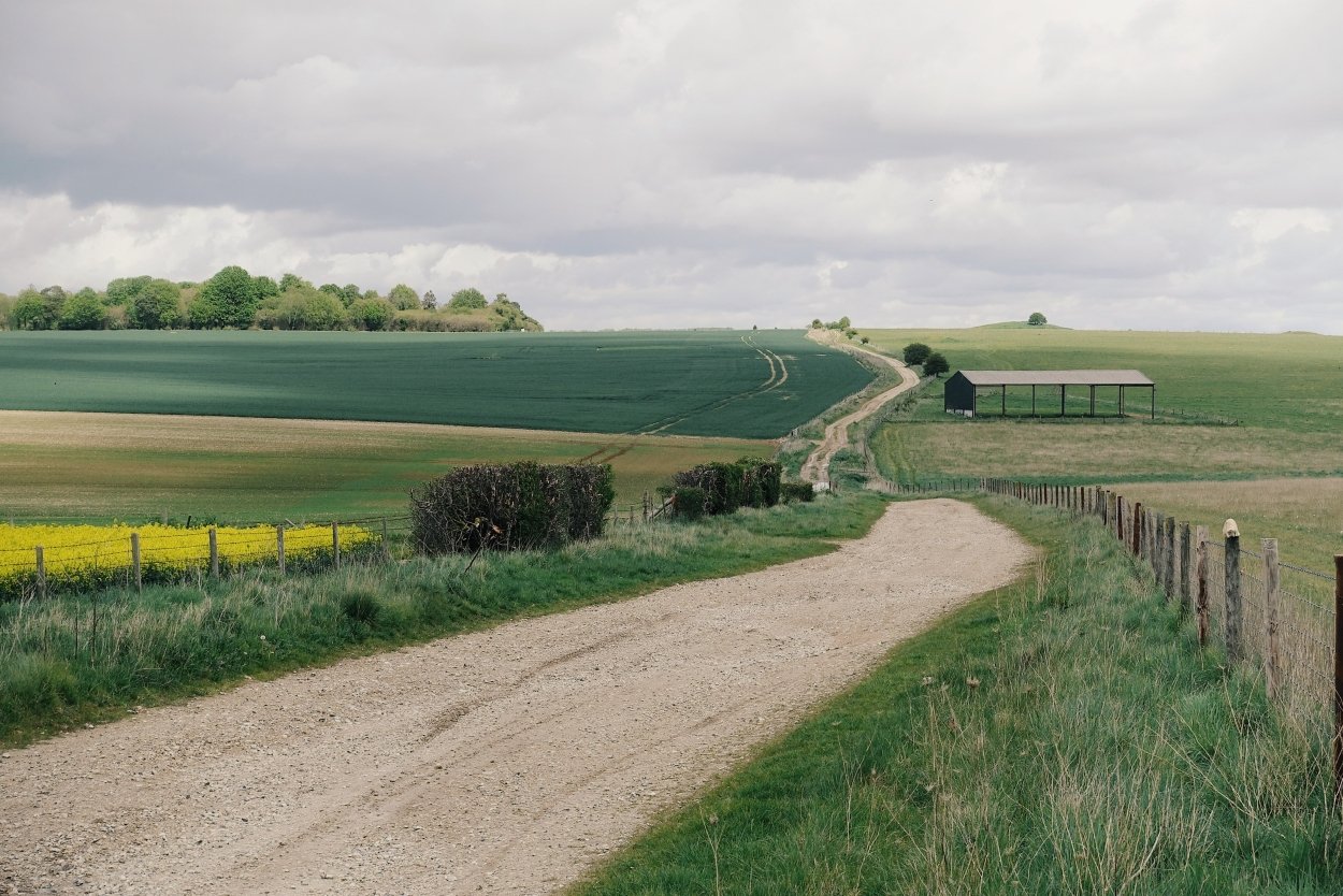
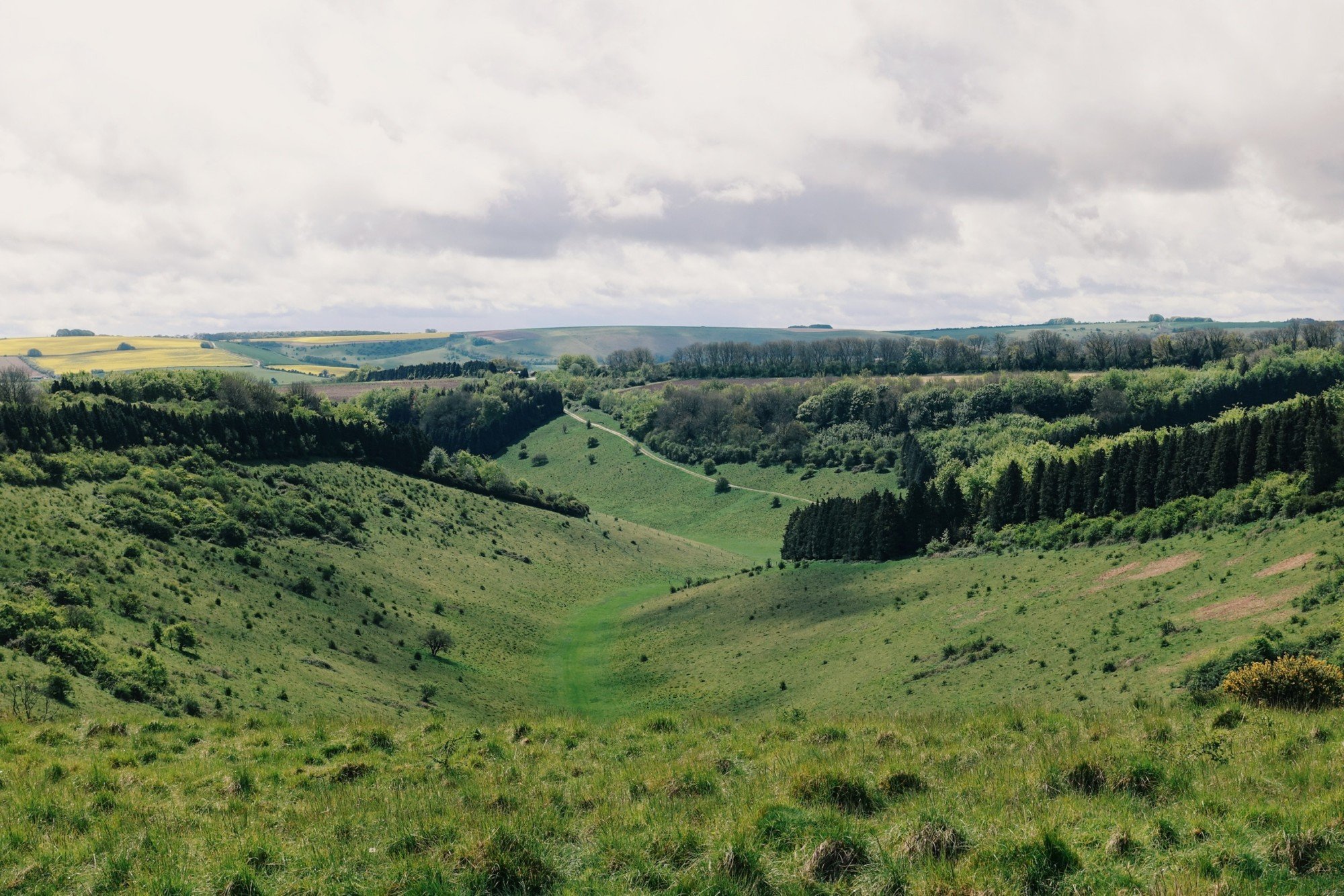
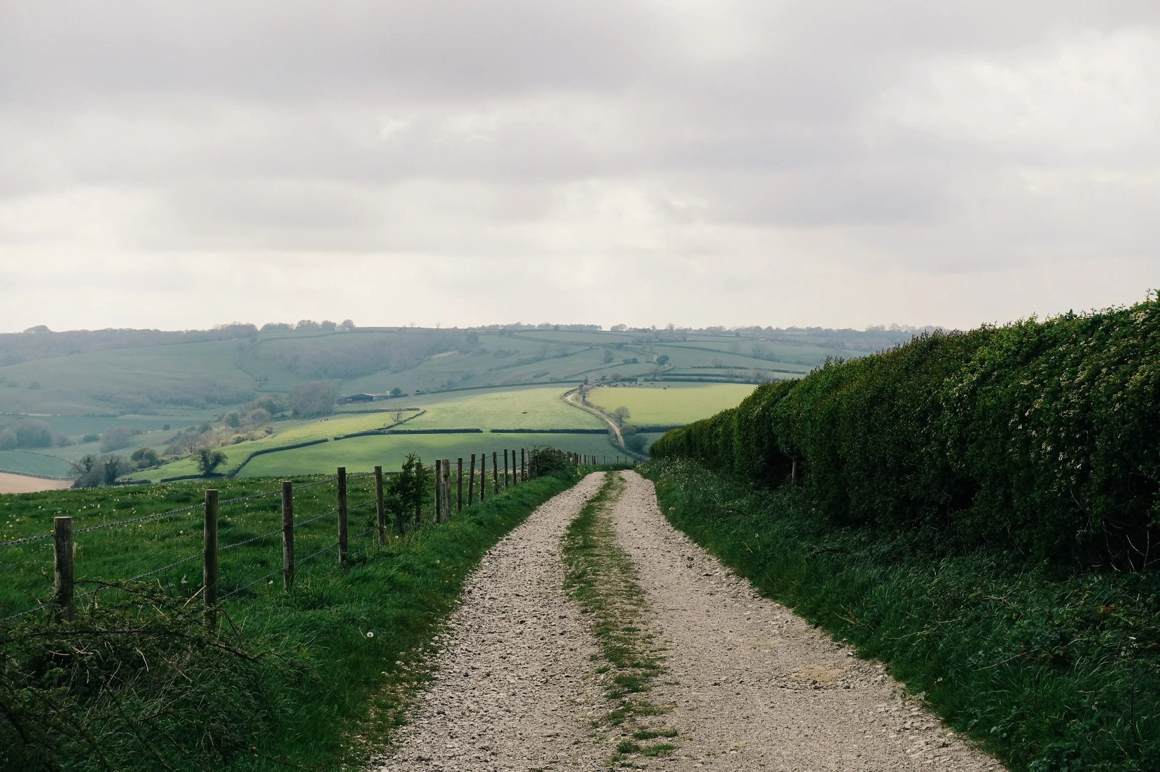
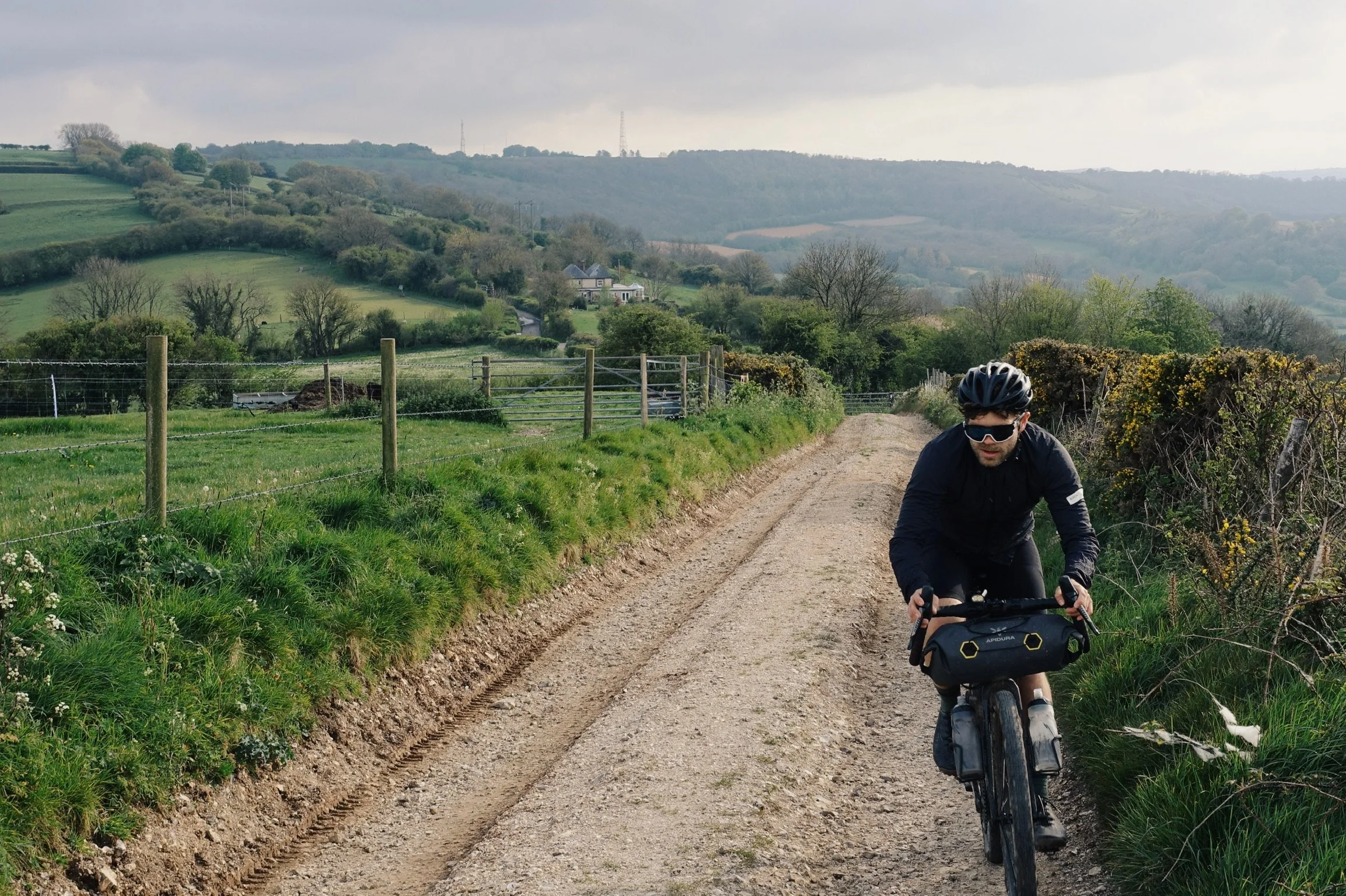
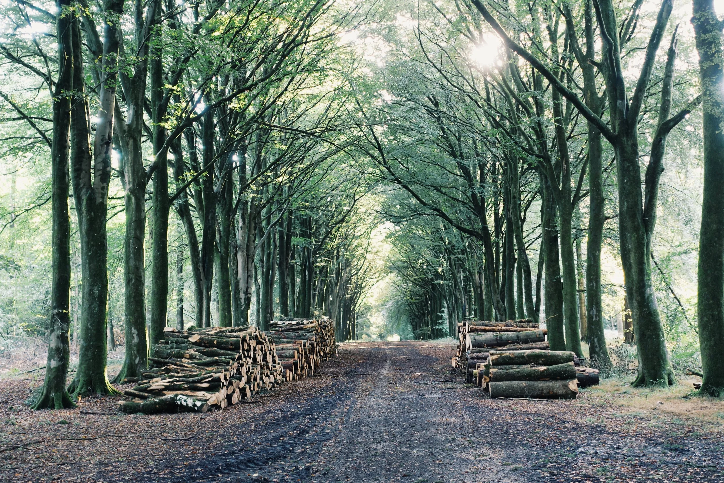
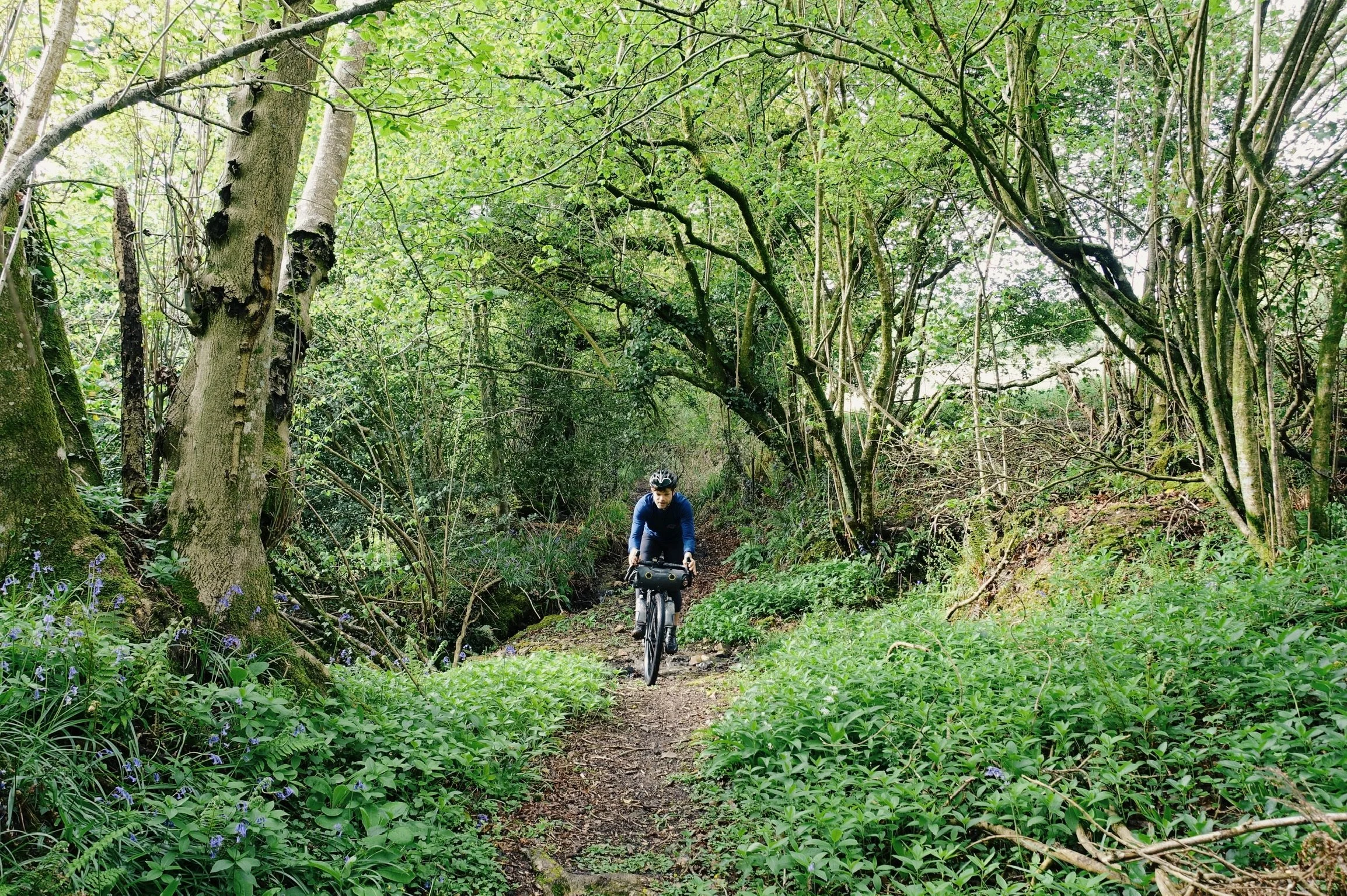
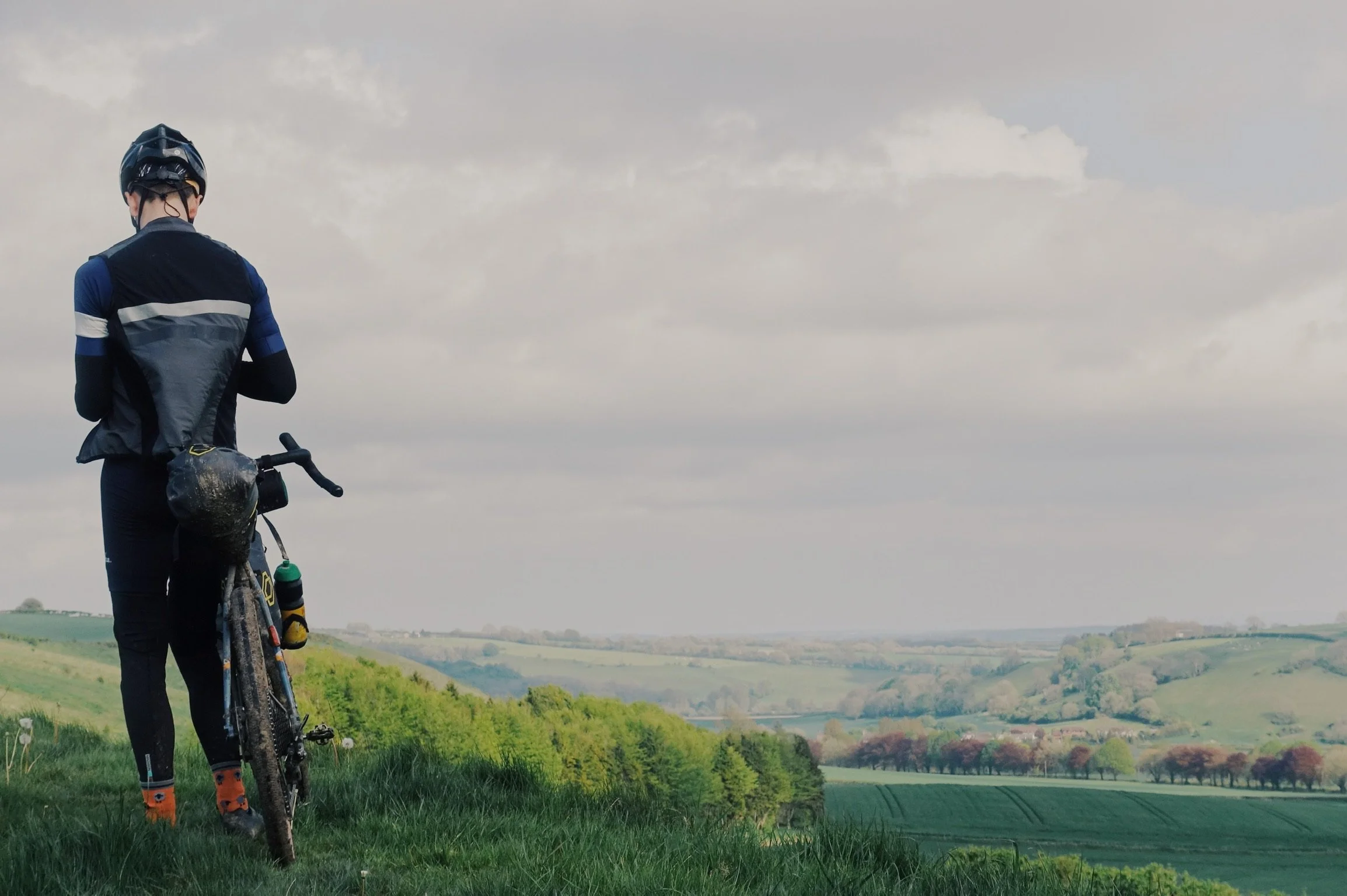
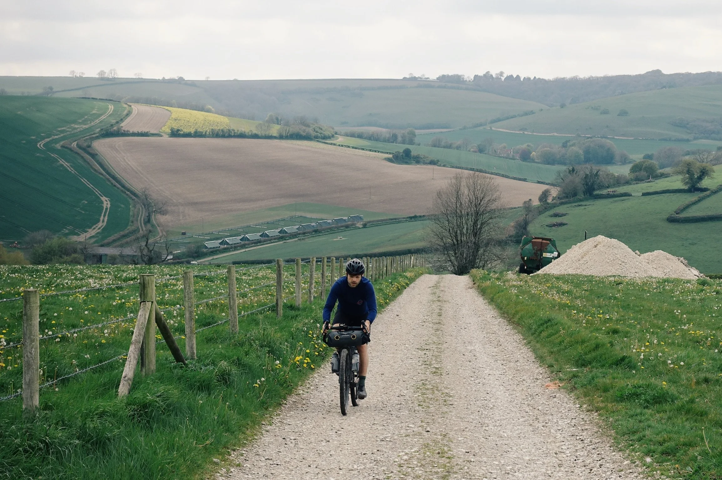
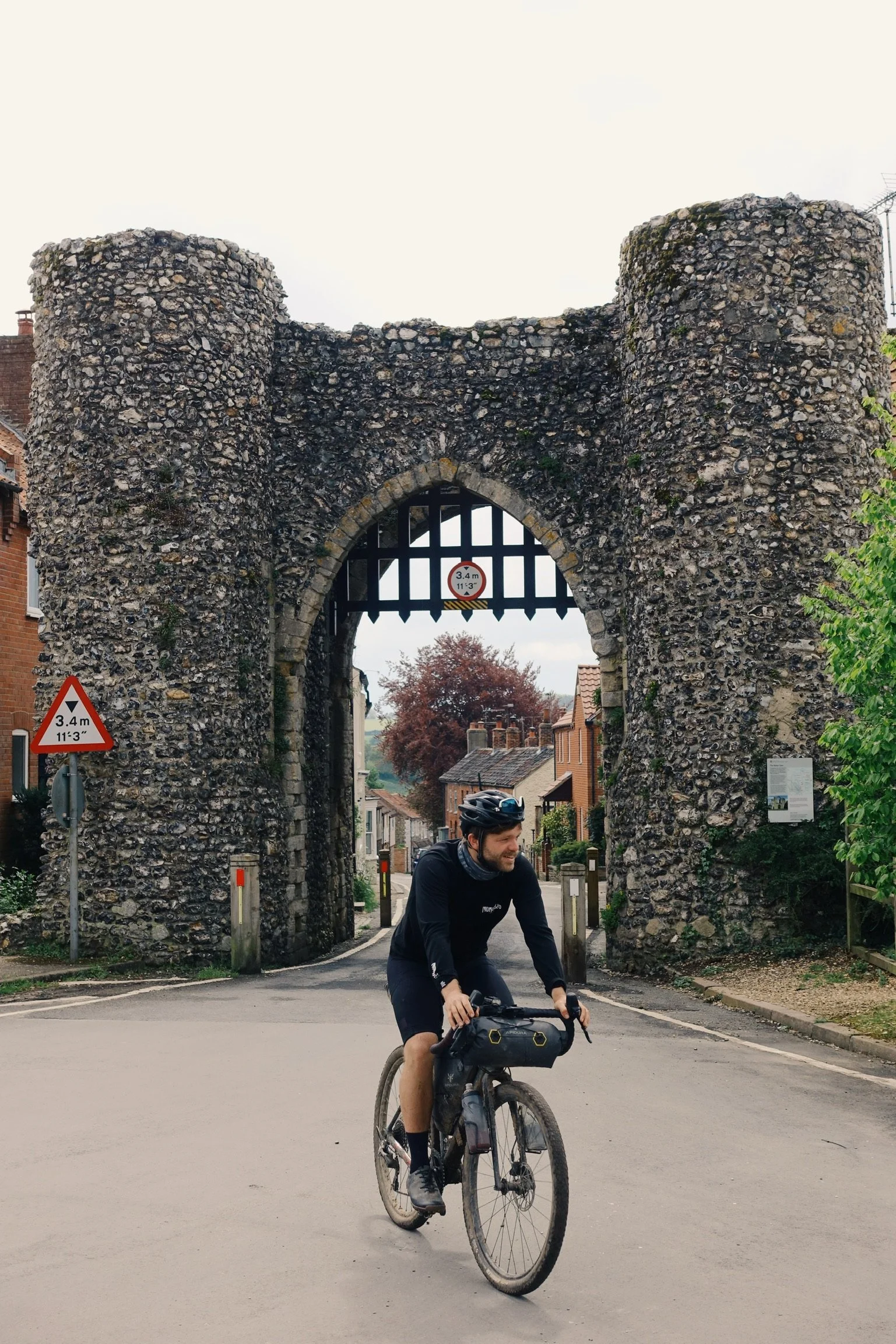
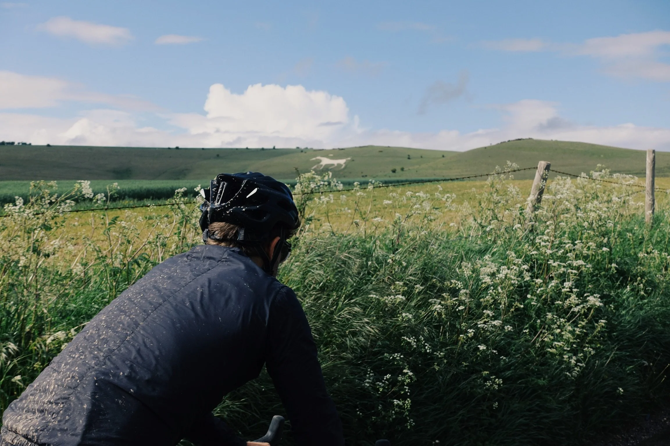
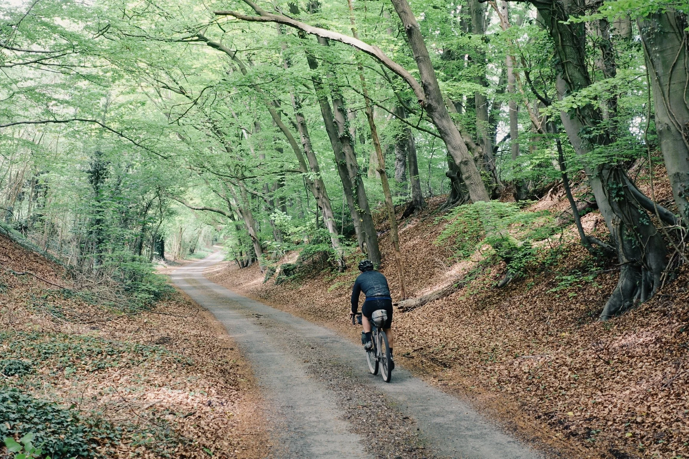
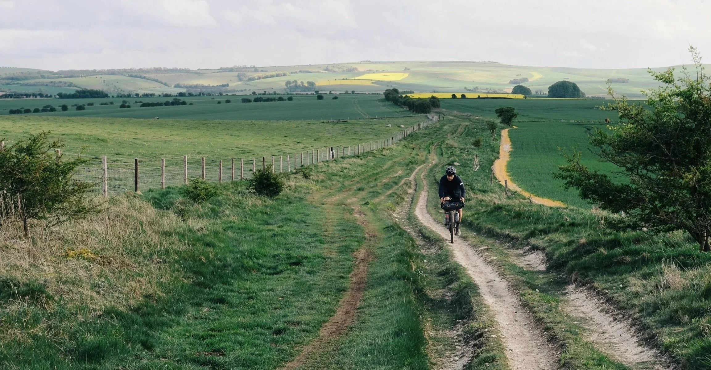
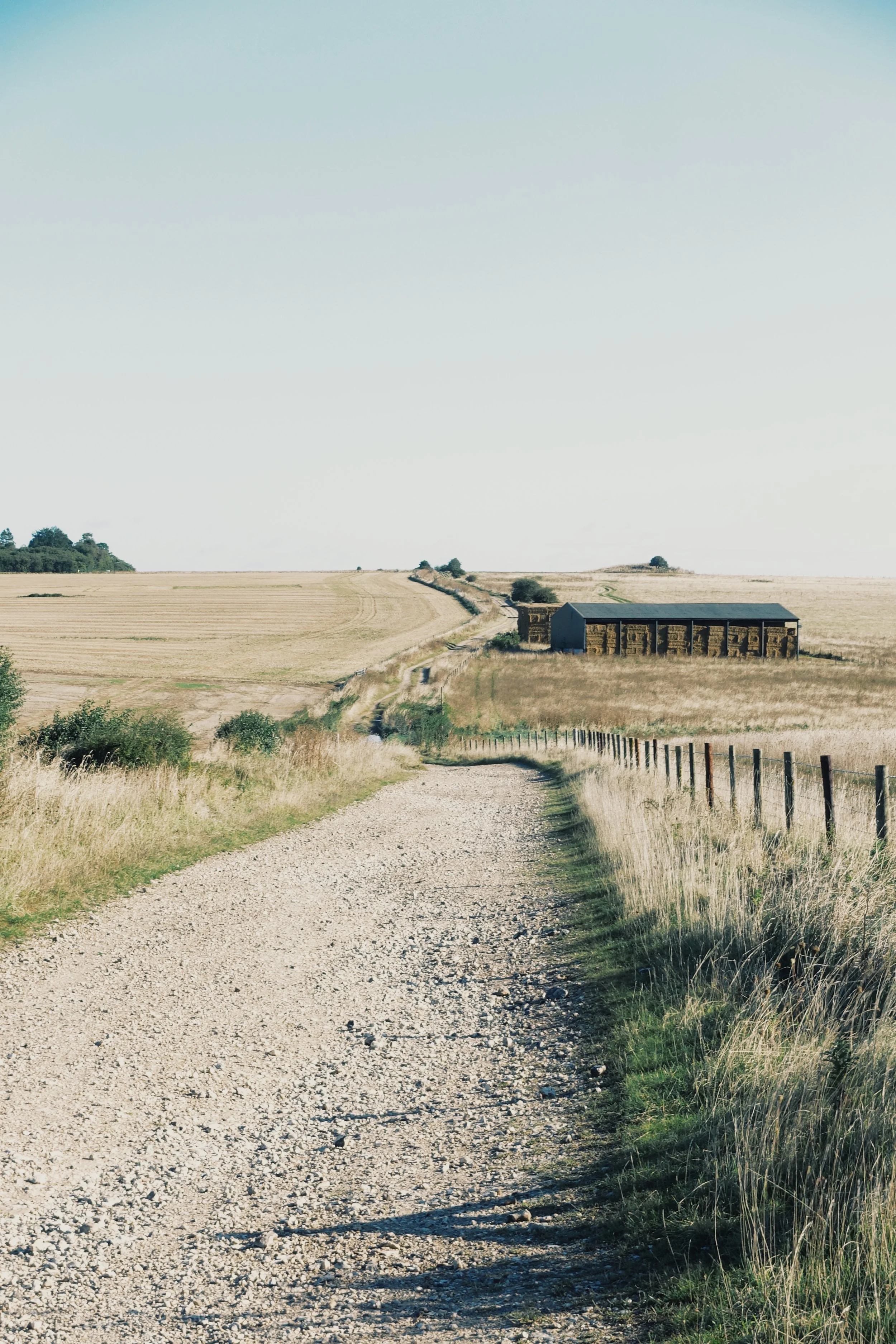
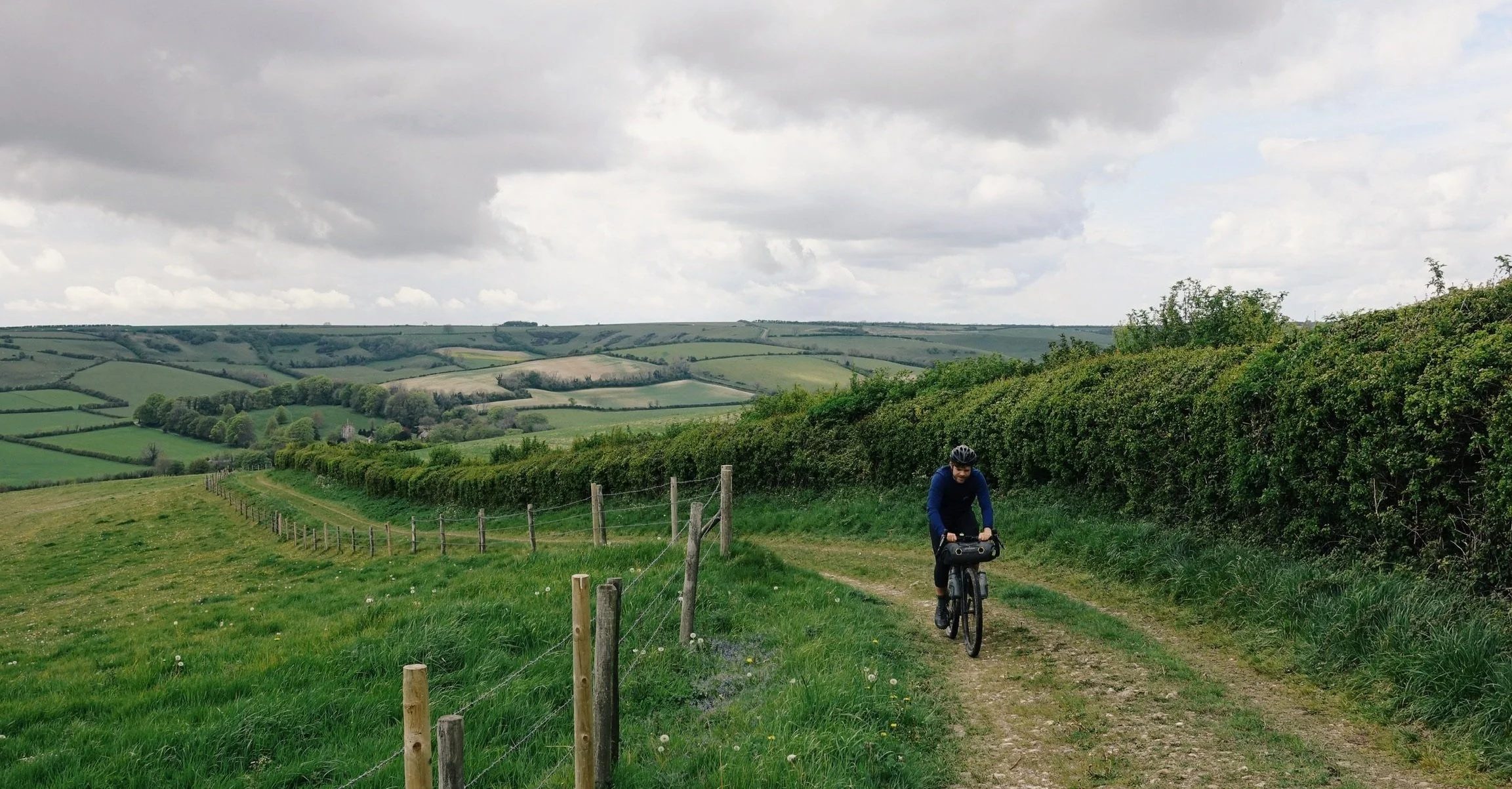
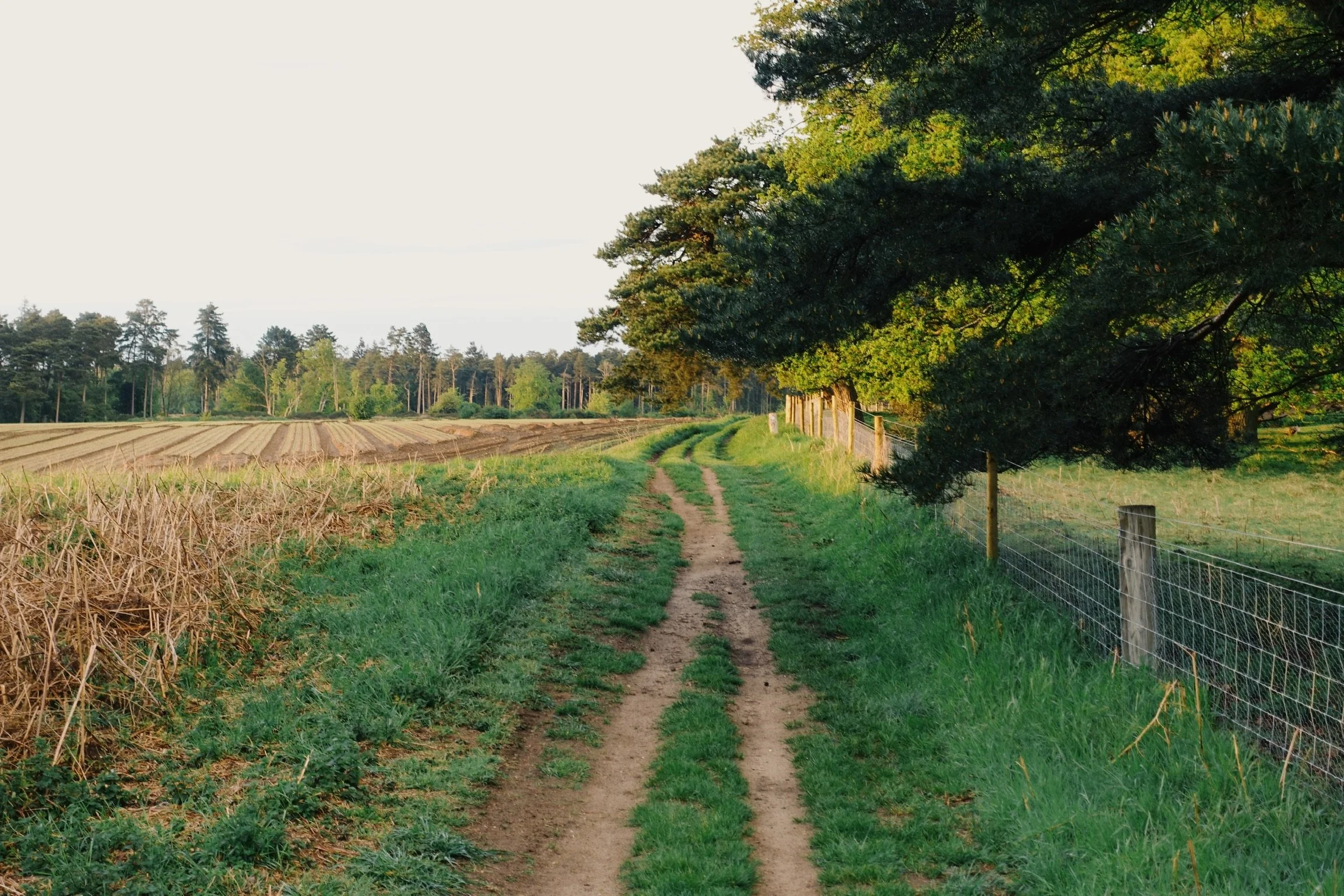
Expect a mix of well-trodden bridleways, chalk double-track, forest fire roads, old drovers trails, back lanes and overgrown grassy desire lines. You'll find rolling green hills, ancient woodland, ancient market towns, Bronze Age round barrows, Iron Age hill forts, two seas and plenty of red kites.
The coast-to-coast highway was the first cross-country trading route, connecting the Dorset coastline to the Wash in Norfolk. Elevated along the chalk vein, the dry terrain made for a more dependable route year round, capable of transporting livestock and carriages alike whilst its height provided the perfect advantage against potential attack. Archaeological evidence suggests that this ancient route lad the foundations for the trading of cultures and goods, not only within the country but across the Channel and the Irish Sea too.
Testament to the highway’s significance, is the number of historical and cultural sites and monuments. The route is littered with hill forts and round barrows, while passing through the famed sites of Cerne Giant, Gold Hill, Stonehenge, Avebury stone circles, Thetford Abbey and Castle Acre.
Today you’d hardly think of these bridleways and chalky desire lines as much of a highway, but by riding its full length you can really get a sense of the history that exists here. And with flowy single track, forest double-track and fast rolling tarmac, if you’re looking to break it up and ride it one section at a time, or want to make it an all out epic riding it in one push, we think it makes for one of the best all round adventure cycling journeys in the South of England.
The Route
Join pinchflat.cc on Ride with GPS to navigate the OCW with a whole bunch of Premium features for free.
Route Highlights
Being such an important ancient route, The Old Chalk Way is a great opportunity for riders to discover this culturally important but often geographically overlooked region of southern England. Highlights include:
Jurassic Coast
The Old Chalk Way rolls out of Lyme Regis with wide-open views of the Jurassic Coast and its towering sea cliffs. Not a bad warm-up for a ride that crosses the width of England.
The Cerne Giant
A hillside chalk figure with centuries of mystery, folklore, and unmissable anatomy.
Gold Hill: A Brutal, Beautiful Cobbled Climb
Shaftesbury’s famously steep cobbled street is a pilgrimage for cyclists. Ride it clean and you’ll earn instant kudos from the tourists…and your legs will remind you for days. Walking is equally encouraged, and if you’re riding the whole route in a oner, your legs will likely than you for the courtesy.
Ancient Woods & Spring Bluebells
Grovely, Bledlow, Wendover, Ashridge and Thetford bring deep, peaceful woodland riding. Hit it in spring and you’ll weave through bluebell carpets glowing under the trees.
Stonehenge From the Saddle
Few bikepacking routes let you cruise past a 5,000-year-old stone circle. Even at a distance, Stonehenge has serious presence in the landscape. If your itinerary allows you the time why not lock up and head in to the grounds of England’s most famous neolithic site on foot?
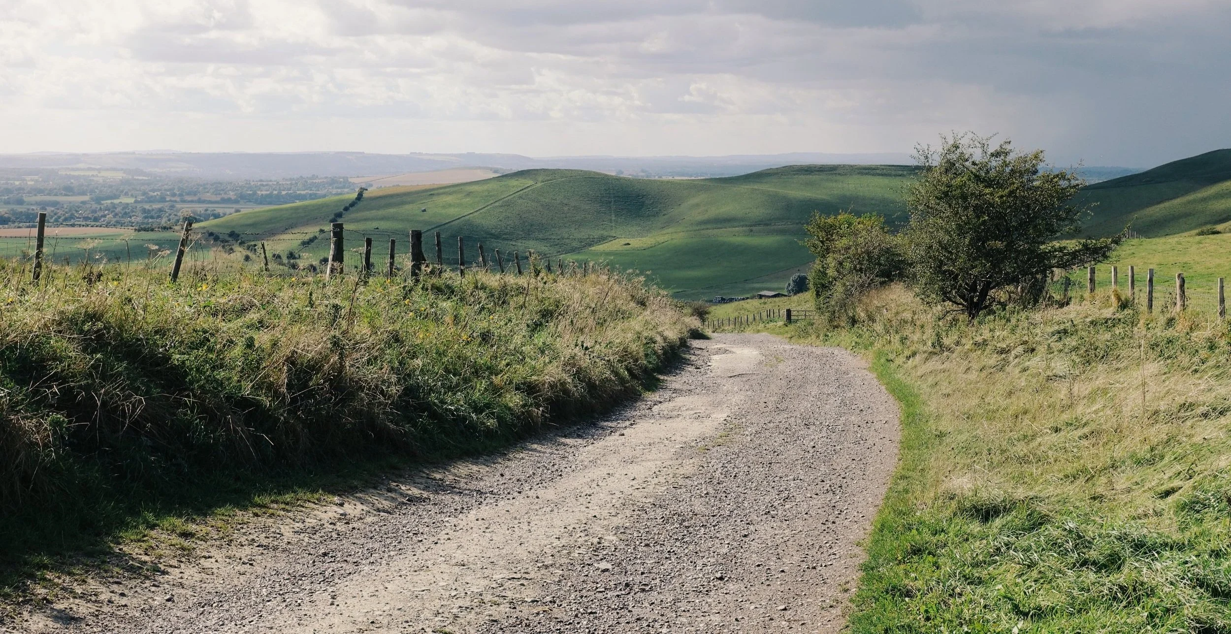
Salisbury Plain’s Wild Chalk Plateau
Europe’s largest stretch of chalk heathland feels more like a far-flung steppe than the UK. It’s also an active MOD training ground—so mind the red flags and avoid closed sections.
Avebury: The Giant Stone Circle
Older, larger, and more immersive than Stonehenge, the stone circle at Avebury is a quiet highlight for riders who like their archaeology on a grand scale.
Red Kites Everywhere
These once-endangered birds now wheel effortlessly overhead along much of the route. Each time we’re out on these tracks there seems to be more of them out there.
The Ridgeway’s Old-World Riding
Follow the ancient high route with huge views rolling away to the north. It’s shared with King Alfred’s Way and delivers classic chalky, highline riding.
Barbury Castle Hillfort
Perched above the Ridgeway, this Iron Age fort gives a proper sense of scale and the kind of windswept drama we all hope for on rides like this.
Thames at Goring (The Psychological Halfway Point)
Not halfway on the map, but it certainly feels like it. The riding eases here before opening out into the flatter eastern miles.
Ashridge Estate & Monument
Ride through impressive parkland with towering trees, wildlife, and a climbable monument offering panoramic views across the Chilterns.
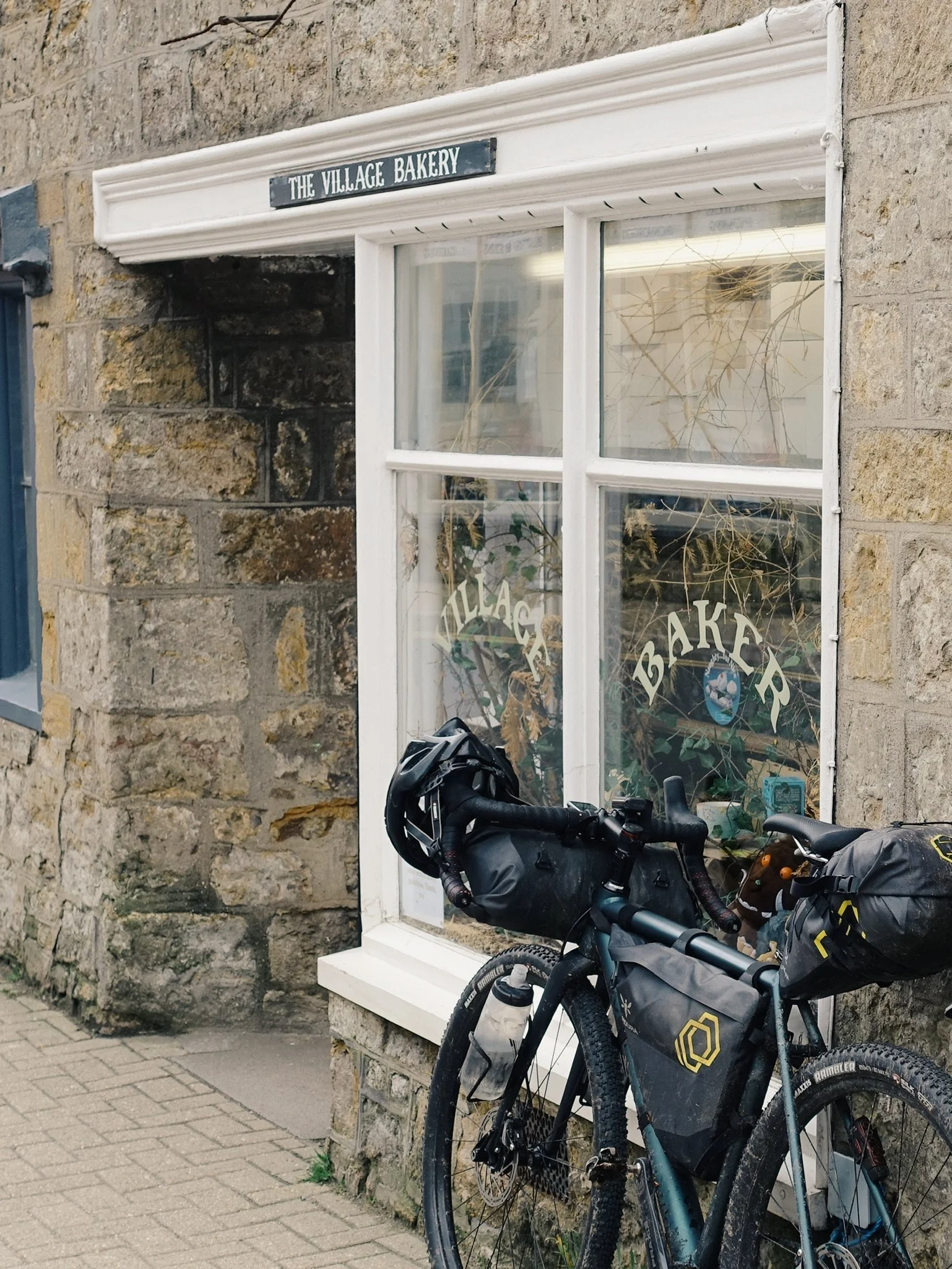
A Healthy Pub-to-Mile Ratio
Expect plenty of proper English pubs for calories, pints, snacks, shelter, and all-round morale.
Thetford & Castle Acre’s Ruined History
Pedal through some of England’s richest medieval archaeology—priory ruins, a motte-and-bailey castle, and the birthplace of radical thinker Thomas Paine.
Sea Dips in Two Different Oceans
Start and finish at the water’s edge, with opportunities for both coastal swims and a few shallow river wades en route.
Holme-next-the-Sea Finish
End your cross-country traverse at one of Norfolk’s quietest, widest beaches. A peaceful, sandy endpoint perfect to help you process the journey.
For a better taste of what to expect riding The Old Chalk Way, check out The Old Road, our written account of our first ride along this route.
Why Make a Route Like This?
The bikepacking community relies on contribution from one another. We love scoring lines across maps. In the south of England we‘re used to travelling far to ride established bikepacking routes following those kinds of lines. Inspired by our experiences on Second City Divide and The Badger Divide, we thought the South of England deserved something just as fun!
We wanted to create a longer distance linear route with an authentic sense of journey and historical significance across the landscapes familiar to us. The route roughly follows four ancient trails making up the Greater Ridgeway which today are marked as established footpaths: The Wessex Ridgeway, The Ridgeway, The Icknield Way and The Peddars Way.
But much of the existing official trail systems don’t lend themselves to bike riding and in many cases it’s forbidden. So we linked up what we could, and skipped what we didn’t like. Rather than squeezing in every bridleway we could find, we opted for route flow, including enough tarmac to keep the KMs ticking over.


What bike should I ride?
This is prime gravel bike territory, but anything packing substantial rubber will do the trick. The route is non-technical with minimal hike-a-bike and plenty of tarmac. We’ve ridden on ~45mm tyres and reckon you’ll be alright on anything upwards of 35mm. If it’s wet you’ll want lots of grip and plenty of spare clearance for mud.
What time of year is best?
There’s a lot of chalk and a lot of mud on the route, so if it has rained, you’ll know about it. With that in mind, we think it’s best ridden in summer when the chalk is dry and rolls best. That said, much of the route is elevated and so it does dry pretty quickly.
Where should I sleep?
The route never strays too far from civilisation so a B&B, pub or Premier Inn is rarely far away. There’s also lots of wide open spaces and forest and even two beaches along the way so if you do want to sleep out there’s ample opportunity for tent or bivvy. The usual goes for being responsible for checking land permissions and a general ‘don’t be a dickhead’ ethos.
Is this Just The same as the Greater Ridgeway?
The concept of OCW is of course to make a rideable version of Britain’s oldest highway, so much of this route is already well-established. The direction of travel is identical to the Greater Ridgeway, as well as start and end points and several sites and paths along the way. It shares about 40% of the same tracks which are made up of mostly ‘The Ridgeway’ section between Avebury-Goring (also shared with King Alfred’s Way), and The Peddars Way in Norfolk.
OCW works out to be about 100km shorter with less elevation than the existing mtb and walking routes. We’ve prioritised prime gravel sections and sealed lanes over circumnavigating grassy fields in order to create a route with maximum flow that makes sense by a range of bikes bike and is fun to ride.
Is this a Race?
No, just a bikepacking route for you to do on your own. If you’d be interested in riding OCW as an event, let us know.
FAQS:
Can I ride across Salisbury Plain?
Be aware that OCW passes through ‘Larkhill site’, part of the MOD training ground at Salisbury Plain, it’s only passable on certain days. Find info about firing days here: gov.uk/government/publications/salisbury-plain-training-area-spta-firing-times. Generally speaking every other weekend and bank holiday weekends are more likely to be possible, although some weekdays too, but please check well in advance.
This is very important for the purposes of not getting shot or arrested. We don’t need that on our hands. We would say that if you are planning to ride the OCW in 4-7 days then you’ll probably be crossing the site on day 2. If firing is in progress and the red flags are flying, don’t stress, we have a red flag option here.
How do I get to and from the Start and Finish?
With train stations near either end of the ride as well as dotted along the route, we’d like to encourage everyone to reach OCW by public transport where possible.
Axminster is the closest station to the south-western end and makes for a nice relaxed roll down into Lyme Regis before starting. If you’ve got some extra time though and your legs are feeling good, why not follow the East Devon Trail from Exeter to the start of OCW at Lyme Regis?
At the other end, the nearest station is King’s Lynn. It’s a 30km ride on the road following the National Cycle Networks route 1 from the finish to the station via Sandringham Estate.
Along the route, Gillingham, Swindon, Princes Risborough, Luton, Royston and Thetford all have stations and you’ll find plenty more just off the route too.
Does it matter which way I ride it?
In theory no, the route would work both ways and if for whatever reason it makes sense logistically for you to ride north to south then great, we’d love to hear how you find it. That said, we designed it running from a south westerly direction for a few reasons:
Prevailing wind: everyone loves a tailwind right?
On the most part smooth climbs and less smooth descents.
The terrain gets easier the further you go east, giving you a sense of flow.